Stream Temperature Monitoring Program for the Housatonic and Hoosic Watersheds
Funded by the Upper Housatonic Valley National Heritage Area, in partnership with the Berkshire Environmental Action Team (BEAT), the Housatonic Valley Association (HVA), and the Hoosic River Watershed Association (HooRWA)
Project Summary:
BEAT, HVA and HooRWA are partnering with Housatonic Heritage to develop a temperature monitoring program on streams identified as cold water resources in two key watersheds in Berkshire County: Housatonic and Hoosic Watersheds. Grant funding was used to purchase equipment and software to monitor eighteen sites on coldwater streams.
In the Housatonic Watershed sixteen (16) sites will be identified and monitored. In the Hoosic Watershed, where twelve (12) sites have been monitored for the past 8 years. Funding will replace equipment at two (2) of the Hoosic sites. The temperature data collected will help inform about the current status of the streams. Continued annual monitoring will help determine if these streams are maintaining their coldwater status in the face of climate change. If streams are identified as not meeting the necessary standards for our cold-loving aquatic species which includes native brook trout, this information will aid our organizations develop a response to concerns identified.
A. Problem Statement
Global and regional climate change are increasing river and tributary temperatures, resulting in a loss of coldwater stream habitat, a decrease in the number and diversity fish and aquatic insect species, and lowering of river and stream oxygen levels.
Why are coldwater streams important?
Coldwater streams are also important regulators within a watershed. These streams, fed by springs, snowmelt and supported by vegetated banks provide areas of shade and oxygenated water, called refugia, that fish seek during warmer periods. They support insects such as mayflies, caddisflies and stoneflies. The number and species diversity of juvenile insects can indicate water quality and in turn are a source of food for native fish species such as brook trout.
Massachusetts Division of Fisheries and Wildlife defines a Coldwater Fish Resource (CFR) as a waterbody that contains coldwater fish that were reproduced in that waterbody or a tributary thereto and use such waters to meet one or more of their life history requirements. The waterbodies are identified by the presence of coldwater species such as brook trout (Salvelinus fontinalis), longnose sucker (Catastomus catastomus), and are confirmed by field biologists. Temperature is a defining component of CFRs, but other key factors include high water quality, natural flow regimes, highly oxygenated water and longitudinal and lateral connectivity. Over 10 years ago, Mass Wildlife had an active temperature monitoring program on multiple tributaries, but monitoring was discontinued. Currently there is minimal current stream temperature data and no ongoing monitoring in the Housatonic.
HooRWA has beenconducting temperature monitoring for the past 8 years. Our three organizations have come together to formulate a comprehensive temperature monitoring program of our CFRs in Berkshire County.
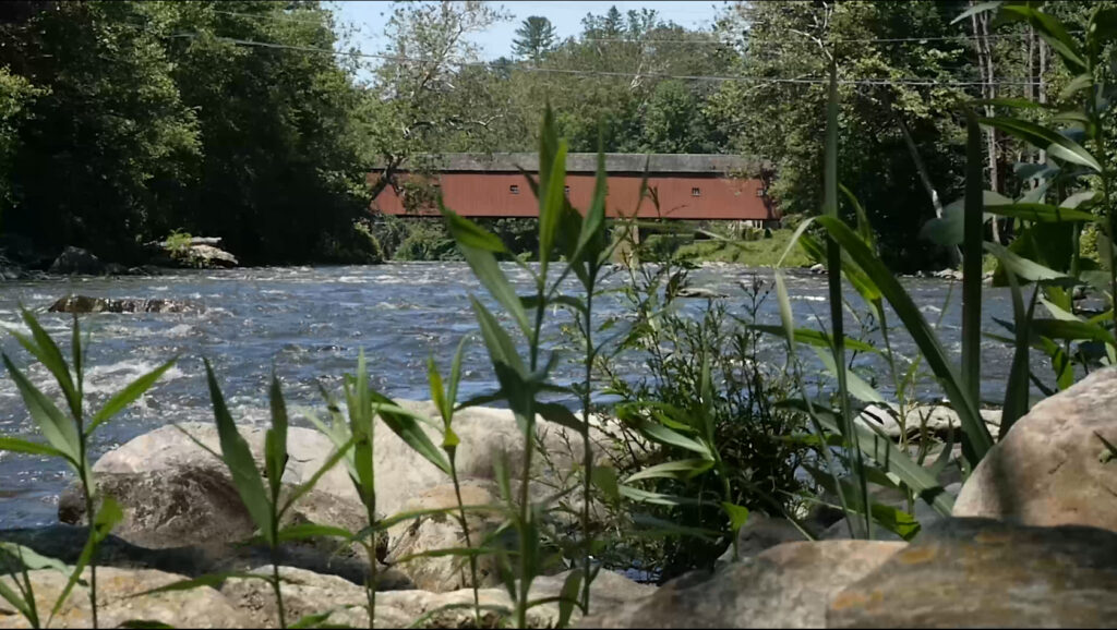
Historic covered bridge over the Housatonic River at West Cornwall, CT.
This project will provide the necessary equipment to install 18 Hobo Temperature loggers in coldwater streams within the Housatonic and Hoosic watersheds. Each organization will match the funds provided with staff and volunteer time and travel necessary to conduct the monitoring program.
Without a monitoring program, it is difficult to determine,
- if these streams are maintaining the temperatures that are needed for coldwater species and meeting the state water quality standards and,
- if these streams are being impacted by changes in stream-side vegetation or shading, snow and ice cover, rainfall, and stream flows, shape of the stream channel, availability or temperature of groundwater and extreme shifts associated with climate change.
A Stream Temperature Monitoring program in the Housatonic and Hoosic watersheds is a cost-effective way to establish baseline temperature data, ensure water quality compliance, and contribute to large-scale research and modeling.
This project would be the first step in building a long-term record of data in the face of potential changes to this key habitat. We anticipate changes and this data will help inform new priorities. These projects require a host organization which will be the BEAT. Our three organizations are key to developing an effective temperature monitoring program in the region.
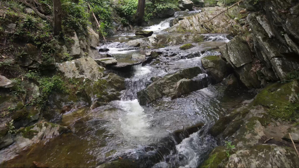
Housatonic River tributary.
B. Project Details
1. Project Goals and Benefits
The goal of this project is to begin a county-wide, temperature monitoring program to confirm the locations of cold water streams. Identifying and then protecting cold water streams in the face of climate change will help sustain a healthy ecosystem as a coldwater fish resource supports the greatest diversity of fish and other aquatic wildlife and the species that depend on them to survive. Temperature data obtained from sensors placed in cold water tributaries for a period of 3 to 4 months would be beneficial to state wildlife agencies who track species diversity, to local conservation commissions in assisting their river protection strategies. It would identify, where applicable, the locations where stream obstructions such as dams or culverts are impinging on stream flow and resulting in increased temperatures.
Partner organizations will work with management agencies and stakeholders to identify priorities where a better understanding of current stream temperature regimes will ensure continued health of Coldwater Fish Resources in the Upper Housatonic and Hoosic Watersheds. We have already had conversations with staff at Mass Wildlife, UMass, USGS and The Nature Conservancy. These conversations will help identify additional appropriate monitoring sites, beyond the proposed sites shared with this proposal.
The concluding report, and ongoing collected data will be shared with state wildlife agencies Conservation Commissions and the partner organizations’ general membership as a way of identifying key resource areas and educating the public on their importance. Reporting on the temperature data collected builds the informational database on climate change and its impact on ecosystems.
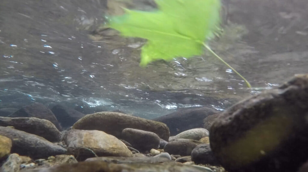
Underwater view of a tributary to the Housatonic River.
2. Project Description
How is stream temperature monitored?
Continuous electronic data loggers are located in streams believed to be coldwater fish resources based on observed continuous flow, shaded stream banks and the presence of fish and aquatic insect species.
What equipment is necessary and how does it work?
18 HOBO data loggers (U -122) are placed in 4” PVC pipes which are then coupled by a 1/8” cable to the stream bank tree or shrub. The logger is located so that stream water flows over it while temperature data is continuously gathered. Loggers are typically placed in streams in late spring and collected at the end of the summer. During the season data is collected by removing the logger, using a data shuttle to collect stored information. The shuttle then is connected to a laptop using a USB cable and software interprets the temperature data for the time period (week, month) desired.
Staff time is needed to locate stream sites, install the data loggers, collect data using the shuttle once or twice during the season, and collecting the loggers at the conclusion of the season.
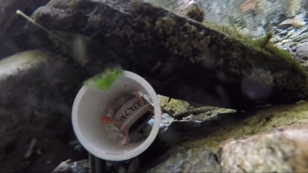
Data logger installed underwater in a stream bed.
3. Data Management
● At the conclusion of the season, loggers and supporting equipment are removed from the streams and final data downloaded and analyzed using the supporting software.
● Data will be shared through a written report which will be available to all organizations for distribution to state agencies and the public.
● The temperature data will be uploaded to Mass DEP’s water quality portal (https://www.mass.gov/guides/external-data-submittals-to-the-watershed-planning-program), SHEDS Stream Temperature Database (http://db.ecosheds.org/) and EPA’s Water Quality Database (https://www.epa.gov/waterdata/water-quality-data-upload-wqx)
4. Quality Control
a. A Quality Assurance Project Plan, or QAPP, is a written document that outlines the procedures a monitoring project will use to ensure that the samples participants collect and analyze, the data they store and manage, and the reports they write are of high enough quality to meet project needs. A QAPP will be prepared to ensure all organizations are conducting the monitoring in a similar manner and to support acceptance of the stream temperature data by the Massachusetts Department of Environmental Protection.
5. Proposed Monitoring Sites
Eighteen sites for temperature monitoring will be identified in the watersheds of the Hoosic and Housatonic watershed. In the Housatonic Watershed sixteen (16) sites will be identified and monitored. In the Hoosic Watershed, where twelve (12) sites have been monitored for the past 8 years these sites will continue to be monitored.
The map provided with this proposal identifies the proposed monitoring sites. In the Housatonic watershed, HVA has proposed the initial monitoring sites to be located at six culvert replacement project sites in Alford, Egremont, Richmond, Great Barrington, Pittsfield and West Stockbridge. These culvert replacement sites are priority sites in each of these towns and are located on streams that are identified as high ecological value and are coldwater resources.